mappa stradale England, Wales / Inghilterra, Galles, Cornovaglia - con London/Londra, Birmingham, Liverpool, Newcastle, Swansea, Plymouth, Dublino (Irlanda)
Immagine per mappa stradale England, Wales / Inghilterra, Galles, Cornovaglia - con London/Londra, Birmingham, Liverpool, Newcastle, Swansea, Plymouth, Dublino (Irlanda)
|
|
Sei nella categoria:
Mappe > Mappe stradali del Mondo > Europa > Gran Bretagna |
 | |  |  |
Cod. 5166 England, Wales / Inghilterra, Galles, Cornovaglia - con London/Londra, Birmingham, Liverpool, Newcastle, Swansea, Plymouth, Dublino (Irlanda) Freytag and Berndt - mappa stradale - 1 : 400.000


|
CODICE: 5166
TITOLO: England, Wales / Inghilterra, Galles, Cornovaglia - con London/Londra, Birmingham, Liverpool, Newcastle, Swansea, Plymouth, Dublino (Irlanda)
EDITORE: Freytag and Berndt
SCALA: 1 : 400.000
TIPO: mappa stradale
SERIE: FREYTAG AND BERNDT - carte stradali
EDIZIONE: 2013
FORMATO: 13 cm x 24 cm
Euro 14,95
SEGNALA AD UN AMICO
|
RITORNA NELLA CATEGORIA...
Mappe > Mappe stradali del Mondo > Europa > Gran Bretagna
Torna indietro
|
|  |  | |  |
|
|
20/01/2021
Visitatori on-line: 947
 |
|
Informazioni |
|
Maps-Store.it è il primo portale in Italia dedicato alla cartografia da più di 10 anni, acquista on-line ed affidati alla nostra esperienza:

|
|
Copyright ©2000-2020 Maps-Store.itall rights reserved / tutti i diritti riservati web design, testi e grafica ©2000-2020 E.P.T. Srl Credits | Privacy Policy | Cookie Policy è vietata la riproduzione anche parziale di materiali presenti in questo sito. E.P.T. Srl - P.IVA e C.F. 03040050480
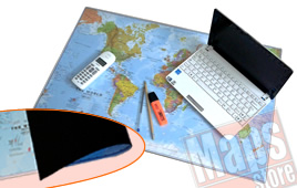
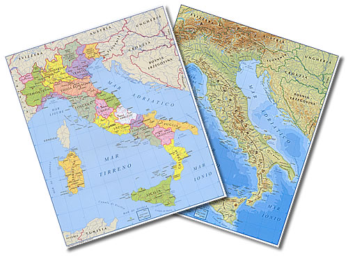
|